Where For All was created to support governments and humanitarian organizations use spatial thinking to become more effective. Achieving universal access to basic human rights across the globe is a challenge that requires answering questions of where - Where are services in place? Where do gaps remain? Where do risks and opportunities lie? Where For All provides stakeholders with the tools and insights required to answer to these questions and take strategic action where it matters most, for the people who need it most.
Where For All uses a collaborative user experience design process that delivers quality GIS solutions that are local, data-driven, and practical.
-
Where For All listens to the needs and ambitions of local stakeholders, prioritize strengthening their capacity through immersive training, and support them to develop context-specific solutions that are actually relevant to the realities on the ground.
-
Where For All helps stakeholders not only collect, maintain, and analyze data, but incorporate data insights into decision-making processes.
-
Where For All’s geospatial solutions are low-cost, user-friendly, and low-maintenance, ensuring continued use and benefit.

Taylor Josephy Founder
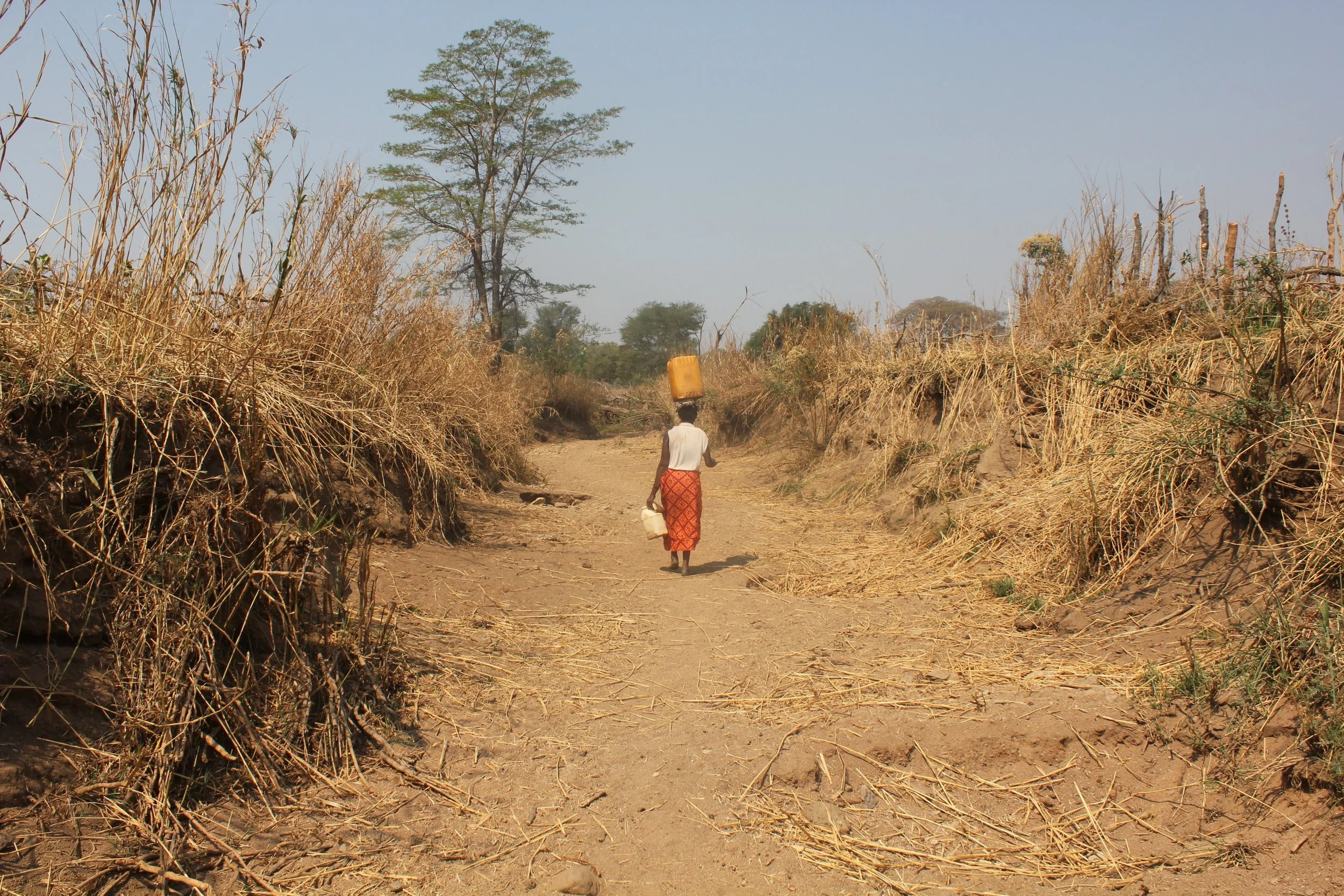
Taylor has been working in water management since 2015, when he first started volunteering as a WASH Project Manager for The SAM Project in rural Zambia. While working on infrastructure development and public sector capacity strengthening programs, he witnessed first-hand the potential of GIS to achieve better outcomes, which inspired the formation of Where For All. Taylor continues to support The SAM Project as well as the Government of British Columbia, Canada with water-centric geospatial services.
