Services
Strategic Geospatial Planning
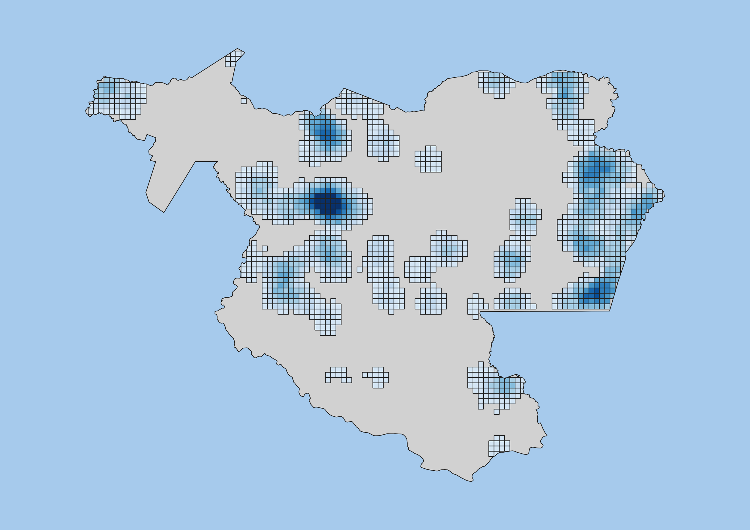
Strategic Geospatial Planning is the core service provided by Where For All. We work with local stakeholders to assess service levels, set practical objectives, identify priority communities, and take strategic action so that each dollar invested returns the highest amount of impact possible. This process includes a flexible and context-specific set of services which can include:
Geospatial data consolidation and collection
Information Management Systems (IMS) development and maintenance
Participatory objective setting and consensus-building
Interactive dashboard development

WASH, IWRM, and MEAL
Where For All has extensive experience implementing Water, Sanitation, and Hygiene (WASH); Water Resource Management (WRM); and Monitoring, Evaluation, and Learning (MEAL) methods. We can support organizations on spatial and non-spatial project components, including:
Project design and management
Capacity- and systems-strengthening
Baseline assessment and progress monitoring using quantitative and qualitative methods
Infrastructure planning and development
Watershed characterization and assessments
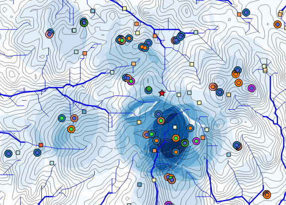
General GIS Support
Where For All helps organizations to apply GIS to the challenges they’re working on through both ongoing support and one-off geospatial products. The following services are offered for both open-source (e.g., QGIS, Google Earth Engine, mWater, Kobo Toolbox) and ESRI-based platforms.
GIS capacity building
Spatial process automation
Remote-sensing
Mobile survey design and implementation
Geospatial story-telling